Well, we've done this section of the Trace up right so it's time to move along. A stop along the Tennessee River gives us a chance to stretch our legs.
Our next stop is a rustic campground about 80 miles south of Nashville. We had the place to ourselves. Quiet but cold.
Just south of our campground is a stretch of the original Trace we can drive on, now we're cooking.
The original Trace generally followed ridges to avoid swamps, like this. Ridges aren't too straight and this trail took a lot of twists and up and downs. That's why it took up to 10 weeks to get home.
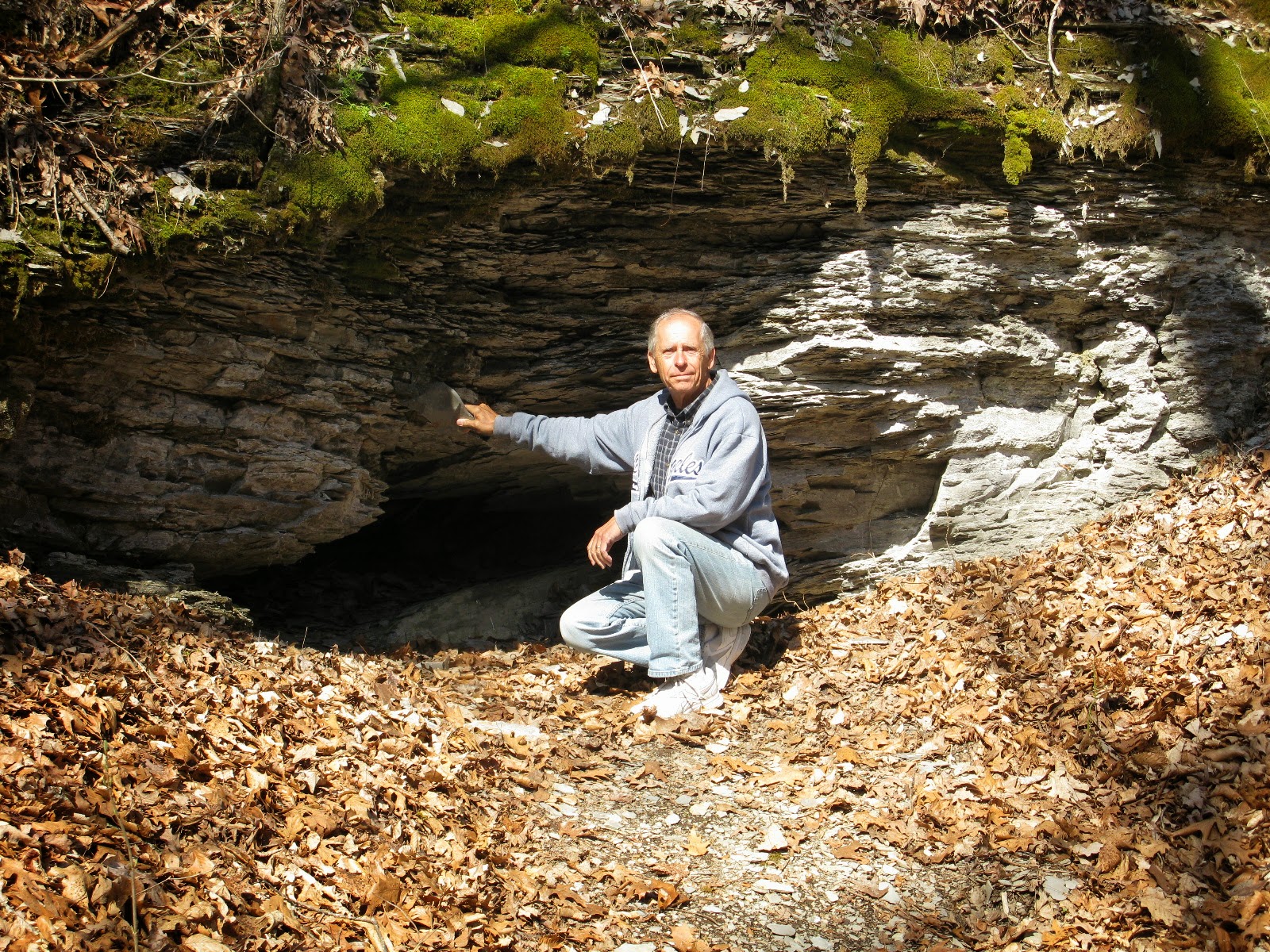
This was once a phosphate mine. The original mine caved in and the train tracks have been removed. Not that a train came here; a donkey engine moved the mineral by rail to the Trace so wagons could take it to market.
There are lots of waterfalls along this stretch. It's gentle now but I'm not sure this would be a good place to stand after a major rainfall. We kept our eyes on the sky!
History lesson. If you haven't heard of Lewis and Clark, you better Google it. Meriwether Lewis was born into money and after spending time in the military and as President Jeffersons personal secretary, the president asked him to explore the land west of the Mississippi. He and William Clark were tasked with finding a water route to the Pacific Ocean. Although they didn't find a water route, they went nearly 8000 miles to the coast and back. At 34 he was rewarded for his service by being made Governor of the Upper Louisiana Territory. On a trip back to Washington the next year to explain his expenses to the new President, at a stop along the Trace called Grinder's Stand, alone in his room, shots were heard and he was found fatally shot. Suicide was the verdict. I didn't know how he died. He was buried at this spot along the Trace.
This house was built in 1818 for the owner of a trading post and ferry. It's one of the few buildings left from that time but what's really cool is the vulture family on the right chimney. We spotted both parents and at least 4 baby vultures. Vulturettes? Maybe you can zoom in a bit.
Another waterfall. The shale terrain makes for some lovely falls and scenery.
Our timing is great for viewing spring colours. The Red Bud trees were everywhere and made for a pretty drive. As well as dogwood and Bradford pear trees.
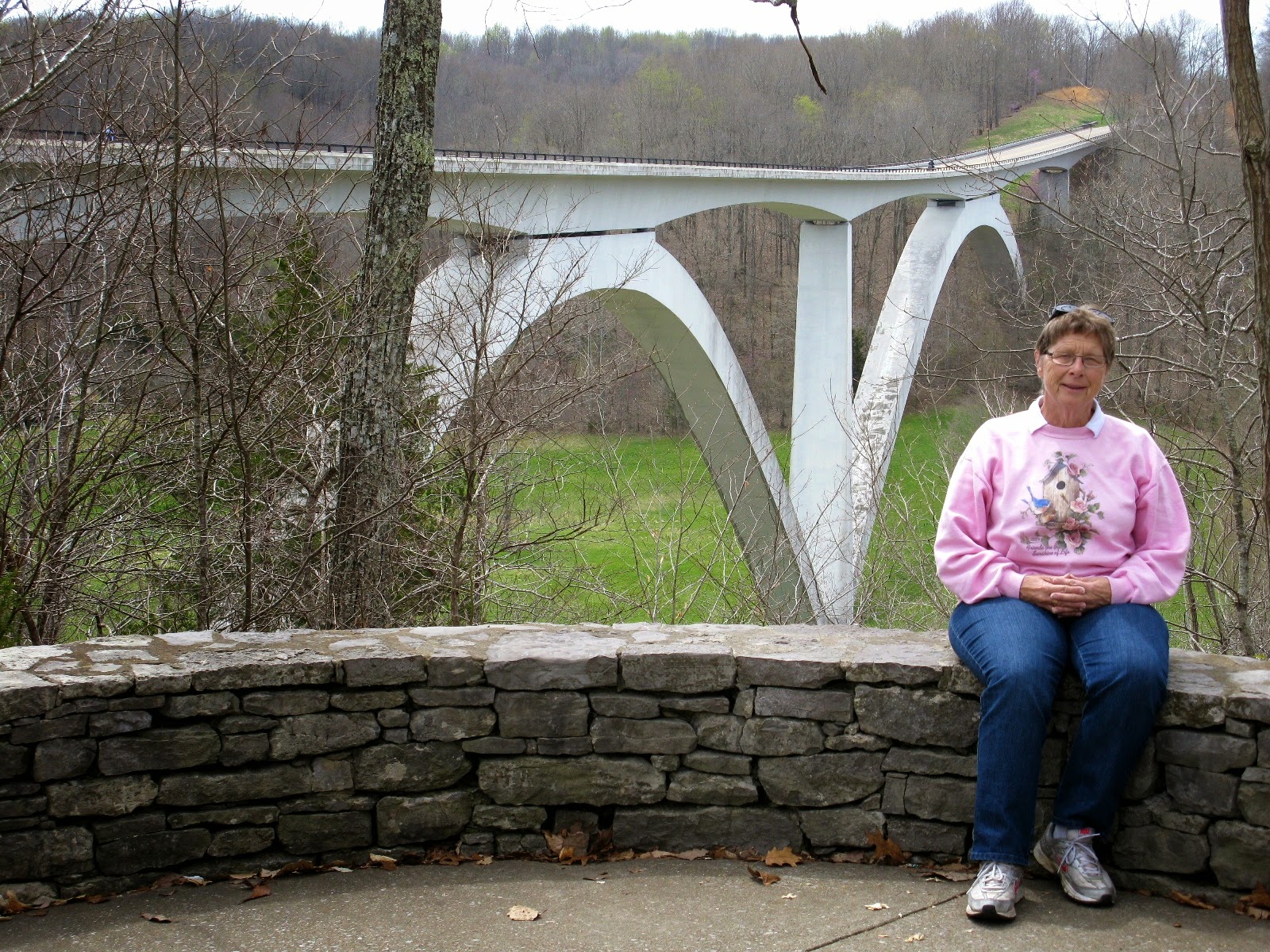
Near the northern terminus is the final addition to the new Trace road. This bridge at Birdsong Hollow won an award for design when it was completed in 1995.
This is the northern terminus. We have travelled the whole Trace from one end to the other, usually multiple times. We figured that on the 444 mile Trace we actually drove over 1200 miles. How you say? Well, we drove and parked. Then we drove the Jeep up the Trace to see the sights and then we came back to our campground, then we drove the RV to the next stop and repeated. That meant at least 3 times past each spot. Now that's doing it up right wouldn't you say. Enjoyed every minute too!
We even managed to see some sights off the Trace along the way. This is the downtown core of Columbia Tennessee. We visited a few shops and had a great lunch.
Our GPS gave us a couple of options when we finally had to leave the Trace. We decided that this wasn't one of them. I'm glad we did a bit of exploring before traveling the backroads. As a result, we took a bit safer route to our next stop on our way home. We've left the Trace; we've enjoyed the route and miss it.
Well, it's time to get serious about getting home. No more procrastinating. But a couple of days outside of Knoxville Tennessee wouldn't hurt. After all, there may still be snow back home.


No comments:
Post a Comment